
Local time Saturday 6:28 AM | ||
 | ||
Weather 12°C, Wind W at 10 km/h, 34% Humidity | ||
Amtrak california zephyr hazen nevada
Hazen is an unincorporated community in Churchill County, Nevada, United States, about 12 miles (19 km) southeast of Fernley and 16 miles (26 km) northwest of Fallon, on U.S. Route 50 Alternate.
Contents
- Amtrak california zephyr hazen nevada
- Map of Hazen NV 89408 USA
- Loram lmix 3412 hazen nevada 02072017 view 3
- References
Map of Hazen, NV 89408, USA
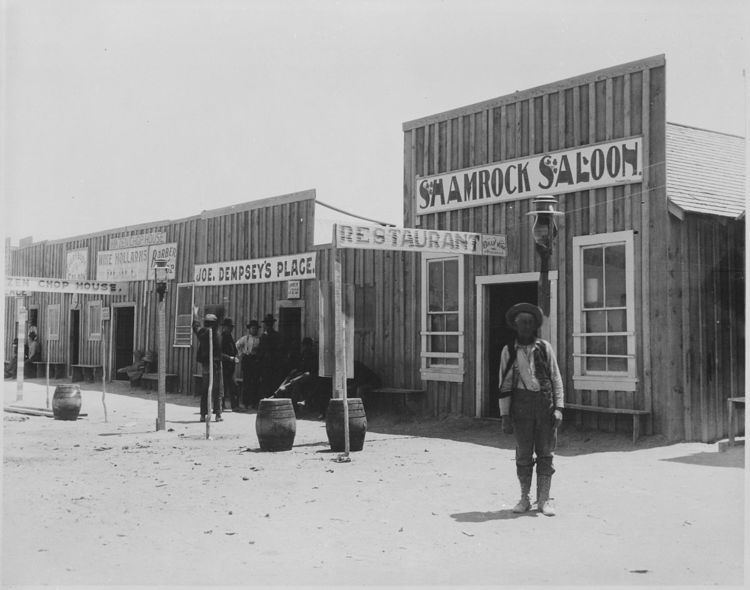
Hazen was founded in 1903 as a station on the Southern Pacific Railroad. Some sources say the town was first settled in 1869, but it doesn't appear on maps until 1903. The community was named for William Babcock Hazen, an aide to William Tecumseh Sherman. At one time Hazen had a post office, which was established in 1904. Hazen's early economy was driven by railroad workers and canal and dam builders, who patronized the town's saloons and brothels.
The Hazen Store is listed on the National Register of Historic Places (NRHP). It "almost defies architectural description" according to the NRHP nomination form.
Vulcan Power Company started a permitting process to drill exploratory geothermal energy wells on land leases near Hazen. The project involves a bypass road across Bureau of Reclamation property.
The Hawthorne Army Depot is connected to the Union Pacific rail network by a 120-mile (190 km) single rail line beginning in Hazen.