
Population 267 (2011 census) State electorate(s) Nanango Postal code 4515 Lga Somerset Region | Postcode(s) 4515 Hazeldean Westvale Local time Saturday 11:13 PM Federal division Division of Blair | |
 | ||
Weather 23°C, Wind NE at 11 km/h, 84% Humidity | ||
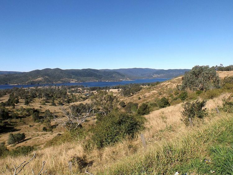
Hazeldean is a large locality in the Somerset Region, Queensland, Australia. At the 2011 Australian Census the population of Hazeldean was 267.
Map of Hazeldean QLD 4515, Australia
Somerset Dam occupies the east of Hazeldean. Western parts are elevated and remain mostly vegetated. In the south is Deer Reserve National Park and towards the north is Deer Reserve State Forest. A strip between the dam and the mountains is mostly rural-residential.
Lake Somerset Holiday Park is a large park on the edge of Somerset Dam which offers a range of accommodation including cabins and camping.
References
Hazeldean, Queensland Wikipedia(Text) CC BY-SA