
Quadrant SW Established 1958 Area 2.9 km² Local time Saturday 6:06 AM | Ward 11 Annexed 1956 Population 5,970 (2006) | |
 | ||
Weather -2°C, Wind S at 3 km/h, 87% Humidity | ||
Haysboro is a residential neighbourhood in the south-west quadrant of Calgary, Alberta. It is bounded by Heritage Drive to the north, Macleod Trail to the east, 98th Avenue (an alley north of Southland Drive) to the south and 14 Street W and the Glenmore Reservoir to the west. It is bisected by Elbow Drive.
Contents
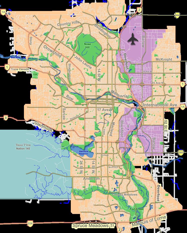
Map of Haysboro, Calgary, AB, Canada
Haysboro was established in 1958 on land owned by Harry Hays until the annexation (1956). It is represented in the Calgary City Council by the Ward 11 councillor.
Demographics
In the City of Calgary's 2012 municipal census, Haysboro had a population of 7003694300000000000♠6,943 living in 7003363700000000000♠3,637 dwellings, a 3.3% increase from its 2011 population of 7003672400000000000♠6,724. With a land area of 2.7 km2 (1.0 sq mi), it had a population density of 2,570/km2 (6,660/sq mi) in 2012.
Residents in this community had a median household income of $52,261 in 2000, and there were 10.4% low income residents living in the neighbourhood. As of 2000, 19.3% of the residents were immigrants. A proportion of 33.5% of the buildings were condominiums or apartments, and 23.9% of the housing was used for renting.
Education
The community is served by Akiva Academy, Haysboro Elementary and Woodman Junior High public schools, as well as St. Gerard Elementary and Bishop Grandin Senior High School (Catholic).