Country United States ZIP code 22310 Elevation 29 m Local time Saturday 7:25 AM | Time zone Eastern (EST) (UTC-5) FIPS code 51-35912 Area 3.6 km² Population 3,909 (2010) | |
 | ||
Weather 4°C, Wind NW at 0 km/h, 86% Humidity | ||
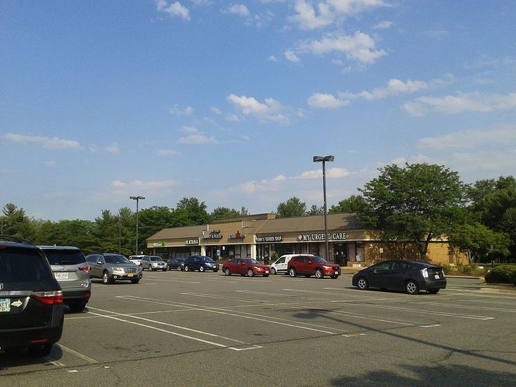
Hayfield is a census-designated place (CDP) in Fairfax County, Virginia, United States. The population as of the 2010 census was 3,909.
Map of Hayfield, Franconia, VA 22315, USA
It is located in southeastern Fairfax County, bordered by Kingstowne to the northwest, Rose Hill to the north, Groveton to the east, and Fort Belvoir to the south. The main road through Hayfield is Telegraph Road, which leads northeast 5 miles (8 km) into Alexandria and southwest 4 miles (6 km) to U.S. Route 1 at Pohick. According to the U.S. Census Bureau, the Hayfield CDP has a total area of 1.4 square miles (3.6 km2), of which 1.3 square miles (3.3 km2) is land and 0.1 square miles (0.3 km2), or 8.14%, is water.
References
Hayfield, Fairfax County, Virginia Wikipedia(Text) CC BY-SA
