
OS grid reference TF 048275 | Sovereign state United Kingdom Postcode district PE10 | |
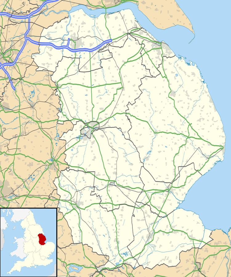 | ||
Hawthorpe is a hamlet in the South Kesteven district of Lincolnshire, England, and the civil parish of Irnham, Bulby and Hawthorpe. It is situated west from the A15, east from the A1, and 5 miles (8.0 km) north-west from the town of Bourne.
Map of Hawthorpe, Bourne, UK
Hawthorpe is mentioned in the Domesday Book as "Awartorp", in the Beltisloe Hundred of Kesteven. It comprised 2 households, 2 villagers and 4 freemen, with 2.9 ploughlands, a meadow of 8 acres (0.032 km2) and woodland of 320 acres (1.3 km2). In 1066 the Lord was Healfdene; after 1086 Lordship was given to Alfred of Lincoln.
In the 1885 Kelly's Directory Hawthorpe is written as having an 1881 population of 70, and as a joint township with the hamlet of Bulby for the support of the poor. Hawthorpe belonged principally to Lord Aveland, who lived at Bulby House.
Listed buildings in the hamlet centre on Hawthorpe Farm, including a 17th-century farmhouse, 19th-century cottages, and 17th- to 19th-century barns and stables, all Grade II.