
Elevation 499 m (1,637 ft) | Population (2004) 438 | |
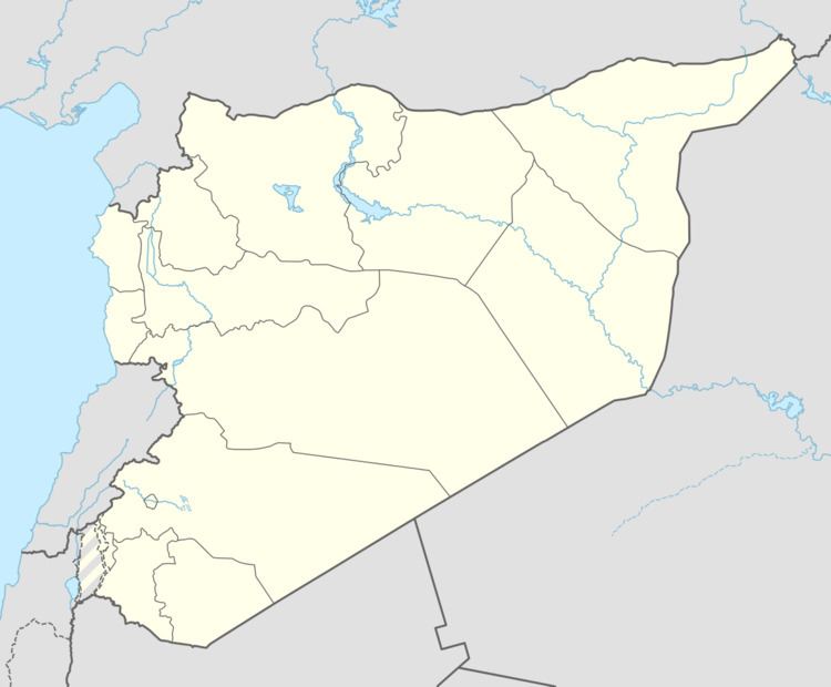 | ||
Hawar Kilis (Arabic: حوار كلس, Ḥāwār Keles, Turkish: Havar Kilis or Havar), alternatively spelled Hiwar Kalas, is a village in northern Aleppo Governorate, northwestern Syria. It is located between Azaz and Çobanbey (al-Rai), on the Queiq Plain, some 45 kilometres (28 mi) north of the city of Aleppo, and just 2 km (1.2 mi) south of the border to the Turkish province of Kilis.
Map of %D8%AD%D9%88%D8%A7%D8%B1 %D9%83%D9%84%D8%B3%D8%8C Syria%E2%80%AD
The village administratively belongs to Nahiya Sawran in Azaz District. Nearby localities include İğde (Zayzafun) 3 km (1.9 mi) to the west and Barak Atlı (Baraghida) 3 km (1.9 mi) to the south. In the 2004 census, Hawar Kilis had a population of 438.
References
Hawar Kilis Wikipedia(Text) CC BY-SA