
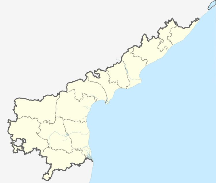
District Anantapur PIN 08496 | Time zone IST (UTC+5:30) Local time Saturday 10:16 AM | |
 | ||
Weather 32°C, Wind NW at 13 km/h, 27% Humidity Neighborhoods OC Colony, Boya Colony, Nese Peta, Bhuma Colony | ||
Havaligi (pronounced haavaaleegee) is a little village in Andhra Pradesh. It lies on the border between Andhara Pradesh and Karnataka. The nearest railroad is Bellary and the nearest airport is Bellary (Hospet).
Map of Havaligi, Andhra Pradesh 515870
Officially, the village is in the district of Anantapur. The nearest town is Uravakonda. Nearest town (Karnataka) is Bellary. Karnataka border is 1.5 km from Havaligi.
In fact, in clear-sky night; the steel plants near Bellary and lights of Bellary town can be seen from rooftops of Havaligi village. The main occupation of Havaligi villagers is agriculture, primarily paddy in wetlands, and crops like peanuts, sun-flower, jowar etc. in dry-lands.
Coming to the festivals celebrated there- Gowri festival which is in the month of November every year is one of the famous festival celebrated. Huge number of people from in and around other villages gather in the occasion.Village is decorated beautifully with lights. Its awesome to see.