
Population 360 (2011) Civil parish Hatherton Local time Saturday 1:13 AM | OS grid reference SJ687474 Unitary authority Dialling code 01270 | |
 | ||
Weather 11°C, Wind W at 31 km/h, 89% Humidity | ||
Hatherton is a hamlet (at SJ687474) and civil parish in the unitary authority of Cheshire East and the ceremonial county of Cheshire, England. The hamlet is located 2¾ miles to the north east of Audlem and 3¾ miles to the south east of Nantwich. The parish also includes the small settlements of Birchall Moss, Broomlands and part of Artlebrook. Nearby villages include Hankelow, Stapeley, Walgherton and Wybunbury. According to the 2001 Census, Hatherton civil parish had a population of 344, increasing to 360 at the 2011 Census.
Contents
Map of Hatherton, Nantwich, UK
Governance
Hatherton is administered jointly with the adjacent parish of Walgherton by Hatherton & Walgherton Parish Council. From 1974 the civil parish was served by Crewe and Nantwich Borough Council, which was succeeded on 1 April 2009 by the unitary authority of Cheshire East. Hatherton falls in the parliamentary constituency of Crewe and Nantwich, which has been represented by Edward Timpson since a by-election in 2008.
Geography and transport
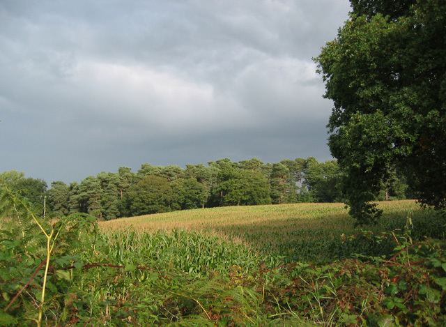
The A529 road runs north–south through the parish and the B5071 runs to the north-east from the A529 junction at Oakes Corner. The River Weaver runs north–south near the western boundary of the parish, and the area has several small meres. The parish also contains several small areas of deciduous and mixed woodland, including Birchall Moss.