
Elevation 484 m Population 204 (2006) | Postal code 377 01 to 378 17 Area 29.89 km² | |
 | ||
Website | ||
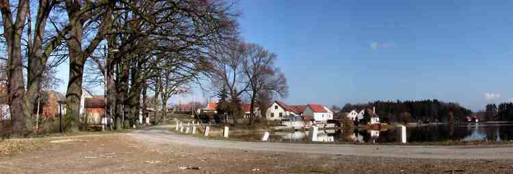
Hatín is a village and municipality (obec) in Jindřichův Hradec District in the South Bohemian Region of the Czech Republic.
Map of Hat%C3%ADn, Czechia
The municipality covers an area of 29.89 square kilometres (11.54 sq mi), and has a population of 204 (as at 2 October 2006).
Hatín lies approximately 11 kilometres (7 mi) south-west of Jindřichův Hradec, 33 km (21 mi) north-east of České Budějovice, and 114 km (71 mi) south of Prague.
References
Hatín Wikipedia(Text) CC BY-SA