
Incorporated September 2, 1920 Elevation 1,385 m Population 69 (2013) Local time Friday 5:45 PM | Platted 1908 Time zone MST (UTC-7) Area 210 ha Zip code 81045 Area code 719 | |
 | ||
Weather 21°C, Wind SE at 19 km/h, 19% Humidity | ||
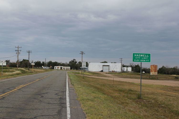
The Town of Haswell is a Statutory Town located in Kiowa County, Colorado, United States. The town population was 84 at the 2000 census.
Contents
- Map of Haswell CO USA
- History
- Geography
- Demographics
- Notable facilities
- Naming of Intel Microchip
- References
Map of Haswell, CO, USA
History
Haswell was established in 1905 or 1908, having grown up around one of the section houses built along the Missouri Pacific Railroad in eastern Colorado that were named after prominent men in alphabetical order from the Kansas State line to the west toward Pueblo, by Helen, daughter of railroad magnate Jay Gould, at the time of the railroad line's construction in 1888. It was incorporated in 1920.
Geography
Haswell is located at 38°27′6″N 103°9′47″W (38.451774, -103.163116).
According to the United States Census Bureau, the town has a total area of 0.8 square miles (2.1 km2), all of it land.
Demographics
As of the census of 2000, there were 84 people, 31 households, and 24 families residing in the town. The population density was 99.8 people per square mile (38.6/km²). There were 41 housing units at an average density of 48.7 per square mile (18.8/km²). The racial makeup of the town was 90.48% White, 2.38% African American, 5.95% Native American, and 1.19% from two or more races.
There were 31 households out of which 41.9% had children under the age of 18 living with them, 61.3% were married couples living together, 16.1% had a female householder with no husband present, and 19.4% were non-families. 19.4% of all households were made up of individuals and 9.7% had someone living alone who was 65 years of age or older. The average household size was 2.71 and the average family size was 3.04.
In the town, the population was spread out with 33.3% under the age of 18, 8.3% from 18 to 24, 28.6% from 25 to 44, 16.7% from 45 to 64, and 13.1% who were 65 years of age or older. The median age was 34 years. For every 100 females there were 127.0 males. For every 100 females age 18 and over, there were 124.0 males.
The median income for a household in the town was $30,938, and the median income for a family was $32,500. Males had a median income of $31,875 versus $9,750 for females. The per capita income for the town was $15,638. There were 25.0% of families and 27.3% of the population living below the poverty line, including 34.6% of under eighteens and none of those over 64.
Notable facilities
Haswell is believed to have the United States' smallest jail. The Jail is approximately 12 feet by 14 feet (Exterior Dimensions), which makes it several feet smaller in each dimension than that of Randsburg, California's jail.
Also, the Paul Plishner Radio Astronomy and Space Sciences Center is located a few miles from Haswell in a remote, radio-quiet area. The center includes a 60-foot parabolic dish antenna used for radio astronomy research.
Naming of Intel Microchip
In 2013, the Intel corporation announced that it was naming its newest processor microarchitecture Haswell, after the town.