
Population 134 (2001 census) Civil parish Harwood Dale Sovereign state United Kingdom District Borough of Scarborough | OS grid reference SE962958 | |
 | ||
Region | ||
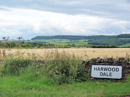
Harwood Dale is a village and civil parish in the Scarborough district of North Yorkshire, England. It is located within the North York Moors National Park.
Map of Harwood Dale, Scarborough, UK
According to the 2001 UK census, Harwood Dale parish had a population of 134.
The parish council is Hackness & Harwood Dale Group Parish Council which covers the six parishes of Broxa-cum-Troutsdale, Darncombe-cum-Langdale End, Hackness, Harwood Dale, Silpho and Suffield-cum-Everley. The ruined Chapel of St Margaret was built in memory of Margaret, Lady Hoby (1571–1633) of Hackness, who kept what is thought to be the oldest extant diary by a woman in English.
References
Harwood Dale Wikipedia(Text) CC BY-SA