
Country United States Time zone Central (CST) (UTC-6) Elevation 97 m Population 106 (2010) Area code 573 | FIPS code 29-30844 Zip code 63945 Local time Friday 11:47 AM | |
 | ||
Weather 12°C, Wind SW at 21 km/h, 89% Humidity Area 4.61 km² (4.558 km² Land / 5 ha Water) | ||
Harviell is an unincorporated community and census-designated place in Butler County, Missouri, United States. As of the 2010 census it had a population of 106.
Contents
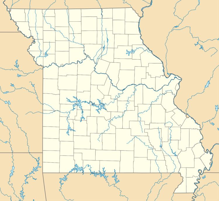
Map of Harviell, MO 63945, USA
History
Harviell was founded in 1873 and is named for Simeon Harviell, an early citizen. A post office called Harviell has been in operation since 1874.
Geography
Harviell is located at 36°39′53″N 90°28′20″W, on Missouri Route 158 about 10 miles (16 km) southwest of Poplar Bluff.
According to the United States Census Bureau, the CDP has a total area of 1.8 square miles (4.6 km2), of which 0.015 square miles (0.04 km2), or 0.78%, is water.
References
Harviell, Missouri Wikipedia(Text) CC BY-SA