
Country United States Time zone CST (UTC-6) Elevation 147 m Local time Friday 7:11 AM | Established November 5, 1861 ZIP codes 62839, 62858, 62899 Area 145 km² Population 6,394 (2010) | |
 | ||
Weather 7°C, Wind S at 14 km/h, 65% Humidity | ||
Harter Township is one of twelve townships in Clay County, Illinois, USA. As of the 2010 census, its population was 6,394 and it contained 2,948 housing units.
Contents
- Map of Harter Township IL USA
- Geography
- Cities towns villages
- Unincorporated towns
- Cemeteries
- Major highways
- Airports and landing strips
- Lakes
- Landmarks
- School districts
- Political districts
- References
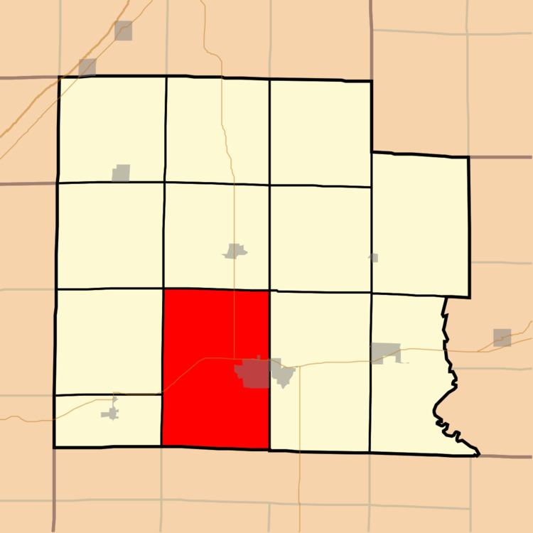
Map of Harter Township, IL, USA
Geography
According to the 2010 census, the township (T2&3N R6E) has a total area of 55.97 square miles (145.0 km2), of which 55.86 square miles (144.7 km2) (or 99.80%) is land and 0.1 square miles (0.26 km2) (or 0.18%) is water.
Cities, towns, villages
Unincorporated towns
(This list is based on USGS data and may include former settlements.)
Cemeteries
The township contains these seven cemeteries: Elmwood, Garden of Memories, Golden, Jenkins, Logan Family, Meisenheimer and Saint Stephens.
Major highways
Airports and landing strips
Lakes
Landmarks
School districts
Political districts
References
Harter Township, Clay County, Illinois Wikipedia(Text) CC BY-SA