
OS grid reference SE826409 Sovereign state United Kingdom Postcode district YO42 Dialling code 01430 | Post town YORK Local time Friday 11:33 AM | |
 | ||
Weather 8°C, Wind SW at 29 km/h, 77% Humidity | ||
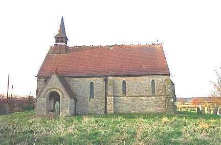
Harswell is a hamlet in the East Riding of Yorkshire, England. It is approximately 3.5 miles (5.6 km) west of Market Weighton town centre, 5 miles (8 km) south of Pocklington town centre, and 1 mile (1.6 km) west of the A614 road.
Map of Harswell, York, UK
It forms part of the civil parish of Everingham and Harswell.
In 1823 Harswell was a village and civil parish in the Wapentake of Harthill. Population at the time was 78, with occupations that included five farmers, and a carrier who operated between the village and Market Weighton once a week.
Harswell was served by Everingham railway station on the Selby to Driffield Line between 1853 and 1954.
References
Harswell Wikipedia(Text) CC BY-SA