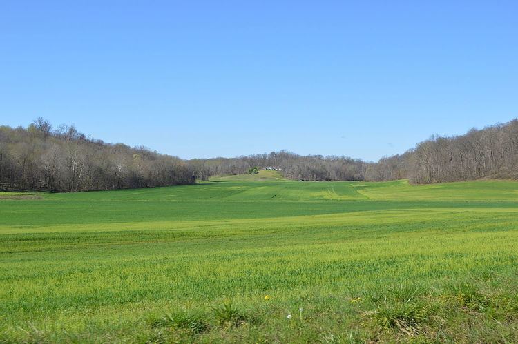
Country United States GNIS feature ID 453396 Local time Friday 2:20 AM | State Indiana FIPS code 18-31990 Elevation 160 m Population 2,000 (2010) | |
 | ||
Weather 4°C, Wind SE at 8 km/h, 49% Humidity Area 142.9 km² (142.1 km² Land / 78 ha Water) University Saint Meinrad Seminary and School of Theology | ||
Harrison Township is one of nine townships in Spencer County, Indiana. As of the 2010 census, its population was 2,000 and it contained 770 housing units. Because of the presence of the St. Meinrad Archabbey, this township exists in the Archdiocese of Indianapolis and not the Diocese of Evansville with the rest of Spencer County.
Contents
Map of Harrison Township, IN, USA
History
Harrison Township was organized in January 1841, and named for William Henry Harrison (1773–1841) the ninth President of the United States (1841).
The Huffman Mill Covered Bridge and St. Boniface Catholic Church are listed on the National Register of Historic Places.
Geography
According to the 2010 census, the township has a total area of 55.18 square miles (142.9 km2), of which 54.87 square miles (142.1 km2) (or 99.44%) is land and 0.3 square miles (0.78 km2) (or 0.54%) is water.
