
Country United States GNIS feature ID 453383 Population 3,204 (2010) | FIPS code 18-31720 Elevation 161 m Local time Friday 3:12 AM | |
 | ||
Weather -3°C, Wind S at 3 km/h, 68% Humidity Area 44.7 km² (44 km² Land / 67 ha Water) | ||
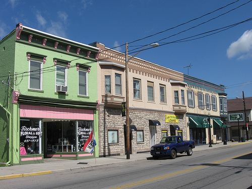
Harrison Township is one of fourteen townships in Dearborn County, Indiana. As of the 2010 census, its population was 3,204 and it contained 1,338 housing units.
Contents
- Map of Harrison Township IN USA
- History
- Geography
- Cities and towns
- Unincorporated towns
- Major highways
- Cemeteries
- References
Map of Harrison Township, IN, USA
History
Harrison Township was organized in 1844.
Geography
According to the 2010 census, the township has a total area of 17.26 square miles (44.7 km2), of which 16.99 square miles (44.0 km2) (or 98.44%) is land and 0.26 square miles (0.67 km2) (or 1.51%) is water.
Cities and towns
Unincorporated towns
Major highways
Cemeteries
The township contains two cemeteries: Braysville and Harrison Hills.
References
Harrison Township, Dearborn County, Indiana Wikipedia(Text) CC BY-SA