
Country United States County Vigo County Time zone Eastern (EST) (UTC-5) Elevation 139 m Area code 812 | State Indiana Township Fayette Township ZIP code 47885 Local time Friday 3:31 AM | |
 | ||
Weather 3°C, Wind SE at 13 km/h, 55% Humidity | ||
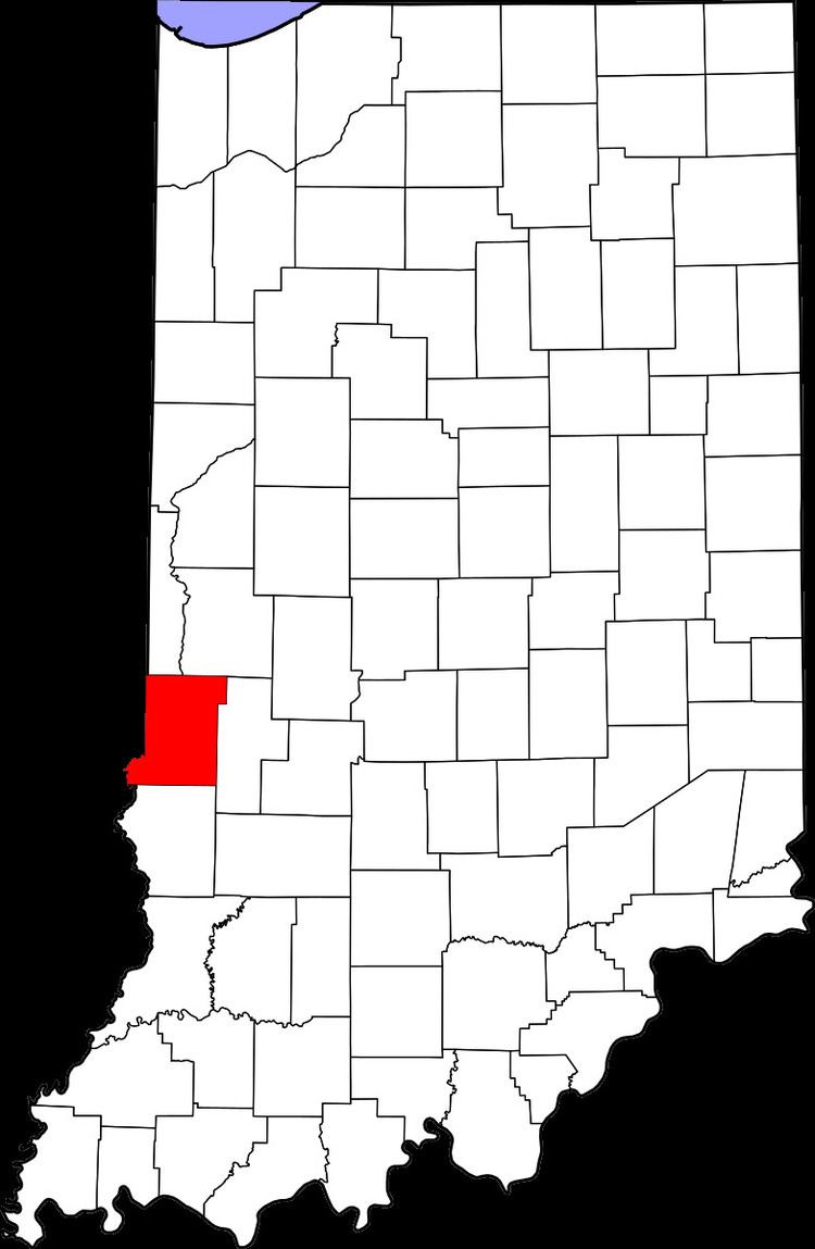
Harrison is an unincorporated community in southeastern Fayette Township, Vigo County, in the U.S. state of Indiana.
Contents
Map of Harrison, Fayette Township, IN 47885, USA
It is part of the Terre Haute metropolitan area.
History
Harrison was platted August 4, 1837, by Ann Potts, on the west side of the river from Fort Harrison, a military outpost in the region built in 1811 by General William Henry Harrison.
Geography
Harrison is located at 39°31′43″N 87°25′20″W at an elevation of 456 feet.
References
Harrison, Vigo County, Indiana Wikipedia(Text) CC BY-SA