
OS grid reference SJ566042 Post town SHREWSBURY Local time Thursday 11:53 PM | Sovereign state United Kingdom Postcode district SY5 Dialling code 01952 | |
 | ||
Weather 4°C, Wind W at 13 km/h, 80% Humidity | ||
Harnage is a small village in the English county of Shropshire. It is located just SE of the village of Cound and the nearest notable settlement is Cressage.
Map of Harnage, Shrewsbury, UK
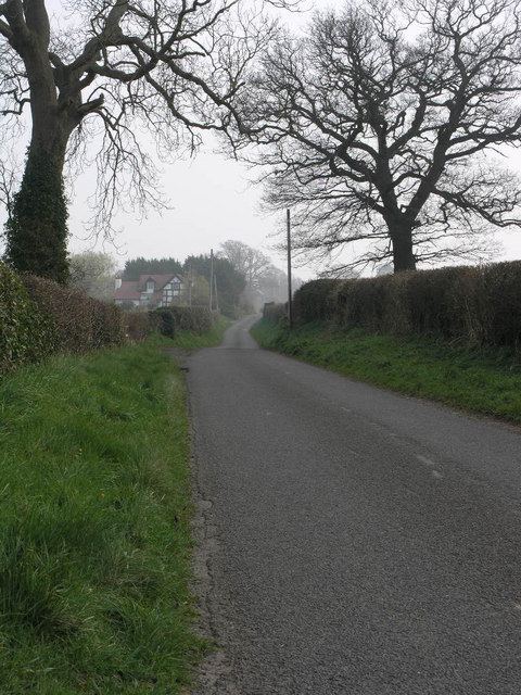
Harnage is considered a hamlet, not a village, as it does not have a post office. One road runs through the hamlet, passing residences, Harnage Farm, and Harnage House, a 17th-century house built on the site of an older mansion, allegedly dating back to the 11th or 12th century. The land was owned in the 12th century by Richard de Harnage, the progenitor of the Harnage family in England and in the USA.
The name derives from the old English and means "rocky edge", which describes the area to a tee. It is completely agricultural. At the NW end of the road running through Harnage is the village of Cound (pronounced Koond) and at the other end is a junction at the foot of the hill, that runs into the place called Harnage Grange, a farm consortium, which, in ancient times pre-Henry VIII, used to be the homefarm of Buildwas Abbey and Wenlock Priory, a few miles away near the town of Much Wenlock.