
Elevation 666 ft (203 m) | Established September 12, 1854 Time zone CST (UTC-6) | |
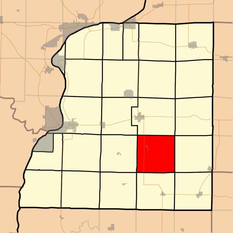 | ||
Harmony Township is one of twenty-five townships in Hancock County, Illinois, USA. As of the 2010 census, its population was 326 and it contained 153 housing units. It was formed from Carthage and Chili townships on September 12, 1854.
Contents
- Map of Hancock County IL USA
- Geography
- Cities towns villages
- Unincorporated towns
- Cemeteries
- Major highways
- Airports and landing strips
- School districts
- Political districts
- References
Map of Hancock County, IL, USA
Geography
According to the 2010 census, the township has a total area of 37.58 square miles (97.3 km2), of which 37.58 square miles (97.3 km2) (or 100%) is land and 0.01 square miles (0.026 km2) (or 0.03%) is water.
Cities, towns, villages
Unincorporated towns
(This list is based on USGS data and may include former settlements.)
Cemeteries
The township contains these seven cemeteries: Browning, Denver, Harmony, Immanuel Lutheran, Mount Pleasant, Ramsey and Scott.
Major highways
Airports and landing strips
School districts
Political districts
References
Harmony Township, Hancock County, Illinois Wikipedia(Text) CC BY-SA