
OS grid reference NZ078683 Post town Newcastle-upon-Tyne Local time Thursday 10:02 PM | Sovereign state United Kingdom Postcode district NE15 Dialling code 01661 | |
 | ||
Weather 3°C, Wind W at 13 km/h, 76% Humidity | ||
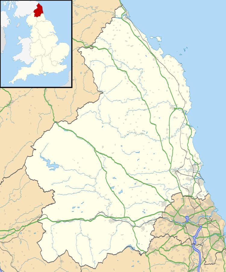
Harlow Hill is a small village in Northumberland, England, in the civil parish of Stamfordham.
Map of Harlow Hill, Newcastle upon Tyne, UK
Harlow Hill lies on the line of Hadrian's Wall, and is the site of Milecastle 16. The Military Road also passes by the village.
Harlow Hill was historically a township in the ancient parish of Ovingham. It became a separate civil parish in 1866. The civil parish was abolished in 1955, when it was merged with other parishes to create the civil parish of Stamfordham.
References
Harlow Hill, Northumberland Wikipedia(Text) CC BY-SA