
OS grid reference NY395607 Post town CARLISLE Dialling code 01228 | Sovereign state United Kingdom Postcode district CA6 | |
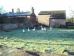 | ||
Harker is a settlement in the parish of Rockcliffe, in the City of Carlisle district, in the county of Cumbria, England. Harker is located along the A7 road on the Solway Plain. Harker is situated approximately two miles north of the course of Hadrian's Wall.
Map of Harker, Carlisle, UK
From 1862, Harker was served by a railway station, sited on the Waverley route that linked Carlisle and Edinburgh. The station was closed to passengers in 1929. It reopened (unstaffed) in 1936 to serve Carlisle airfield and remained intermittently in use, serving local RAF airfield and Maintenance Unit 14MU operations, as well as the local community, until the closure of the line in 1969.
Harker is also associated with the Surname Harker.
References
Harker, Cumbria Wikipedia(Text) CC BY-SA