
Local time Friday 5:40 AM | Postcode(s) 2850 Postal code 2850 | |
 | ||
Weather 14°C, Wind SE at 8 km/h, 92% Humidity | ||
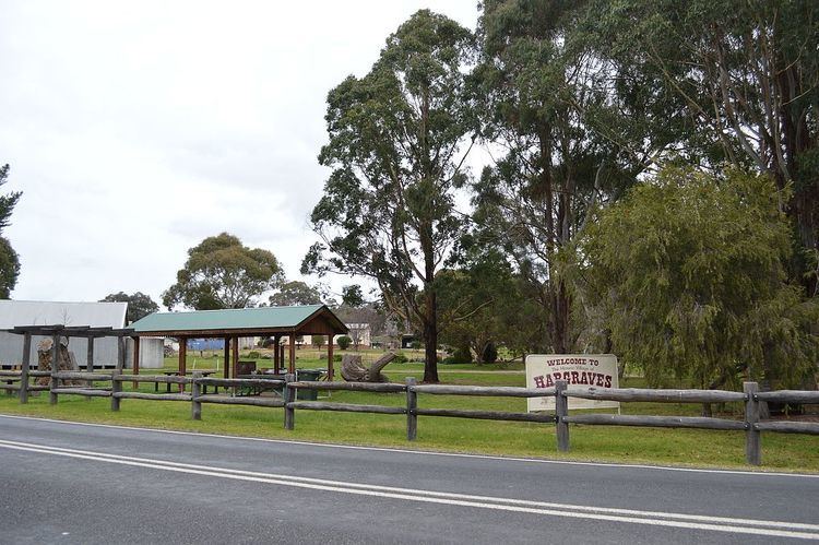
Hargraves is a town in Central West New South Wales, Australia. The town is 306 kilometres (190 mi) north west of the state capital of Sydney and 39 kilometres (24 mi) southwest of the town of Mudgee, New South Wales, Australia. At the 2011 census, Hargraves had a population of 338.
Map of Hargraves NSW 2850, Australia
Initially known as Louisa Creek, it was renamed Hargraves after Edward Hargraves.
References
Hargraves, New South Wales Wikipedia(Text) CC BY-SA