
Country South Africa District Ugu Established 1874 Area code 039 | Province KwaZulu-Natal Municipality UMuziwabantu Postal code (street) 4680 Local time Thursday 6:15 PM | |
 | ||
Weather 21°C, Wind NE at 6 km/h, 60% Humidity | ||
Harding is a town situated in the Mzimkulwana River valley, Ugu District Municipality of KwaZulu-Natal, South Africa
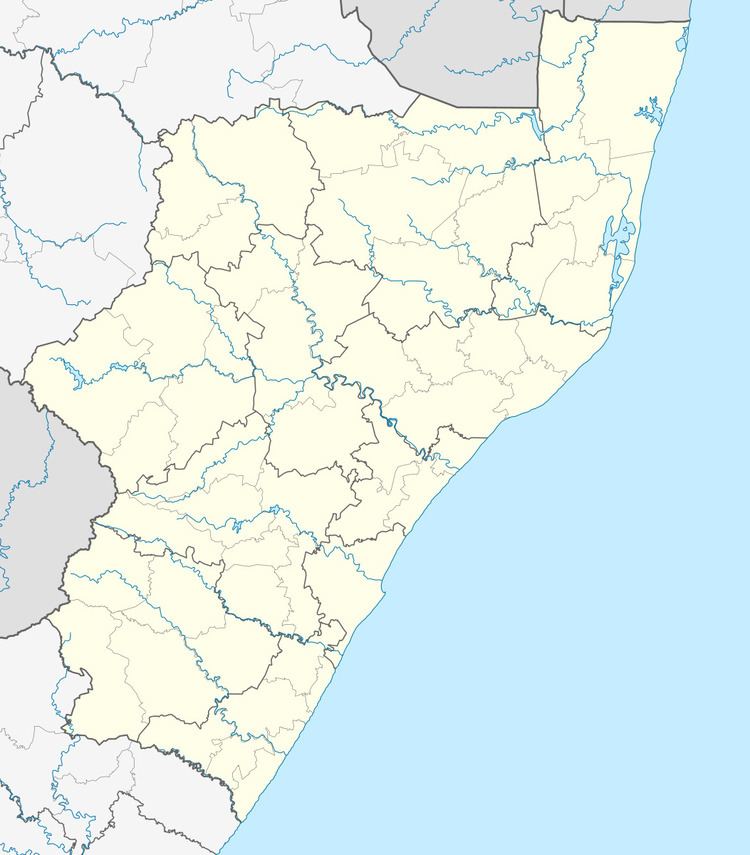
Map of Harding, 4680, South Africa
Harding was established as a military outpost following the British annexation of East Griqualand in 1874. Named after Sir Walter Harding (c 1812-1874) who in 1858 became the first Chief Justice in Natal.
Timber and dairy farming are the main economic activities. The abandoned 122 kilometres (76 mi) narrow gauge Alfred County Railway used to serve the farming areas, linking Harding with Port Shepstone. Harding lies at the foot of the Ingeli Range, 34 km north-west of Izingolweni and 84 km north-west of Port Shepstone.
References
Harding, KwaZulu-Natal Wikipedia(Text) CC BY-SA