
Population 502 (2011 census) Civil parish Harborough Magna Local time Thursday 1:01 PM | OS grid reference SP4779 Sovereign state United Kingdom Dialling code 01788 | |
 | ||
Weather 8°C, Wind SW at 18 km/h, 85% Humidity | ||
Harborough Magna is a village and parish in Warwickshire, England.
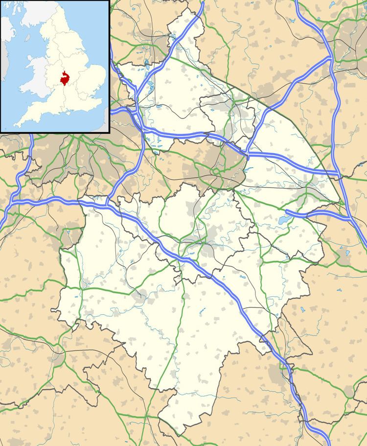
Map of Harborough Magna, Rugby, UK
Along with the adjoining hamlet of Harborough Parva and nearby Cathiron, the parish has a population of 461 (2001 census), increasing to 502 at the 2011 Census.
Harborough Magna is located around five miles northwest of Rugby on the B4112 road, and is part of the borough of Rugby. The M6 motorway lies about one mile north of the village, and the Oxford Canal about one mile south. Harborough Magna was to be the site of a motorway service station, first planned in 1975, on the M6 (the partially constructed slip roads are visible between the B4112 and Montillo Lane bridges), but the allocated site was too small and the plans were scrapped in 1980.
Harborough Magna was mentioned in the Domesday Book as Herdeberge. For many years the main source of employment in the village were sawmills near the canal at Cathiron.
Around one mile north-east of the village is a nursing home for the elderly. Despite its remote location, between 1949 and 1983 it was a maternity hospital, and served as the only one in the Rugby area.