Girish Mahajan (Editor)

Harbonnières

Updated on
Edit
Like
Comment
Share on FacebookTweet on TwitterShare on LinkedInShare on Reddit
Country
  
France

Department
  
Somme

Intercommunality
  
Santerre

Area
  
15.37 km²

Arrondissement
  
Montdidier

Region
  
Hauts-de-France

Canton
  
Rosières-en-Santerre

Population (2006)
  
1,450

Local time
  
Thursday 1:38 PM

Harbonnières mw2googlecommwpanoramiophotosmedium15054773jpg

Weather
  
17°C, Wind S at 11 km/h, 57% Humidity

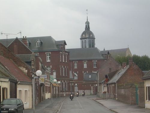
Harbonnières is a commune in the Somme department in Hauts-de-France in northern France.

Contents

Map of Harbonni%C3%A8res, France

Geography

The commune is situated on the D337 road, 34 kilometres (21 mi) east of Amiens.

Places of interest

  • Saint Martin's church at Harbonnières. A large 15th-century building with a tower topped by a dome. A sundial is visible on the façade.
  • Heath Cemetery, a World War I cemetery operated by the Commonwealth War Graves Commission.
  • References

    Harbonnières Wikipedia


    Similar Topics