
Impounds Harangi River Height 50 m Catchment area 419.6 km² | Total capacity 8.50 TMC feet Length 846 m | |
 | ||
Location Hudgur, Somwarpet, Kodagu, Karnataka, India Operator(s) Karnataka Irrigation Department Similar Nisargadhama, Abbey Falls, Irupu Falls, Omkareshwara Temple, Madikeri Fort | ||
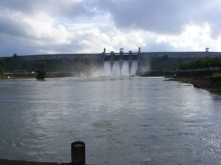
The Harangi Reservoir is located near Hudgur village, Somwarpet taluk in Kodagu district in the Indian state of Karnataka. The reservoir is formed by a masonry dam built across the river Harangi, a tributary of the Kaveri. The dam is located about 9 km away from the heart of Kushalnagar town.
Map of Harangi Dam, Karnataka 571234
The Harangi originates in the Pushpagiri Hills of Western Ghats in Kodagu, Karnataka. Heavy rainfall from the south-west monsoon is the source of water in the catchment area of Harangi river which is about 717 km2. The length of the Harangi from its origin to the confluence with the Kaveri river is 50 km. The Harangi joins the Kaveri near Kudige in Somwarpet taluk.
References
Harangi Reservoir Wikipedia(Text) CC BY-SA