
Telephone Exchanges 586, 591 Population 346 (2011) Area code 709 | Postal Code A0B 1Y0 Local time Thursday 2:06 AM | |
 | ||
Weather 7°C, Wind S at 26 km/h, 95% Humidity | ||
The community of Hant's Harbour (48°00′55″N 53°15′45″W NST) is an incorporated town having a population of 346 (2011 Census) located on the east side of Trinity Bay on the Bay de Verde Peninsula, Newfoundland, Canada.
Contents
- Map of Hants Harbour NL Canada
- Geography
- Towns and communities nearby
- History
- Timeline
- Climate
- Economy
- Attractions
- References
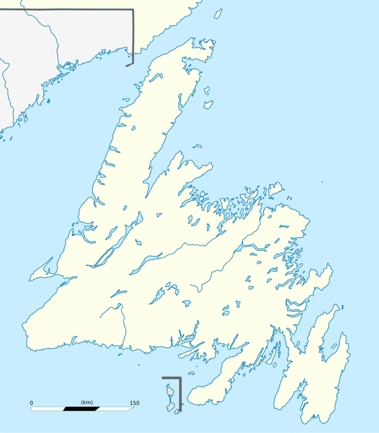
Map of Hant's Harbour, NL, Canada
Geography
Hant's Harbour is a small fishing village built around a small harbour which opens on the north to Trinity Bay. The harbour waters are able to accommodate vessels up to 100 tons, the landscapes which surround it are low hills which are rocky and barren.
Towns and communities nearby
History
During King William's War, the village was destroyed in the Avalon Peninsula Campaign. Like most of the early settlements around the coast of Newfoundland, the population grew very slowly during the eighteenth century.
Hant's Harbour early residents were mostly of the Church of England, during the eighteenth century they depended upon the services of clergy on the irregular visits of the missionaries for the Society of the Propagation of the Gospel, stationed at Trinity.
The rise and rapid growth of Methodism in Hant's Harbour caused the Church of England community to remain small, its members being served the clergy stationed at nearby parishes. In the early twentieth century the Salvation Army came to Hant's Harbour and gradually built up a substantial membership, and constructed a citadel there.
Timeline
Climate
Relatively mild winters with considerable variation in snow cover. Heavy rainfalls from October through December. Summers cooled by low clouds and fogs near coasts, considerably brighter and warmer inland.
Economy
From the beginning the economy of Hant's Harbour was based mainly on the fisheries, until the nineteenth century when it was the inshore cod fishery and the Labrador fishery during the latter half of the century. This was also an important source of seasonal income during the nineteenth and twentieth centuries.