
 | ||
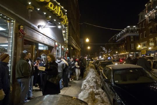
Hanover Street is located in the North End of Boston, Massachusetts.
Contents
Map of Hanover St, Boston, MA, USA
History
The street is one of the oldest in Boston, and was originally an Indian path, allowing access to the shore, prior to the first European settlement. In the 17th century, the street was called Orange Tree Lane. In 1708, the street was renamed after the British House of Hanover, heirs to the throne under the Act of Settlement 1701. In 1824, North Street and the former Middle Street became part of Hanover. In the 1950s, the block of Hanover Street between Cross Street and Blackstone Street was demolished to make way for the construction of the Central Artery. This block was reopened in 2004 when the elevated Central Artery was removed as part of the Big Dig. In the 1960s the southern section of Hanover street, from Congress Street to Court Street (now Cambridge Street), was demolished to make way for the construction of Government Center. Hanover Street is now home to many businesses, cafes, churches, and Italian restaurants. The portion of the street between John F Fitzgerald Surface Road Street and Union Street is closed on Friday and Saturday each week for the Haymarket open-air market.