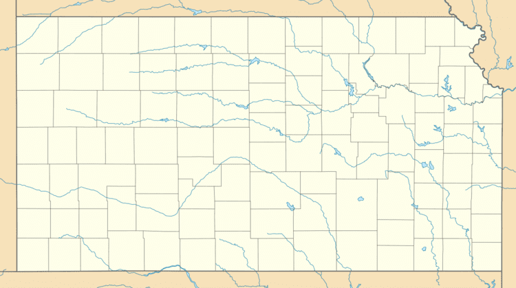
Built 1921 Opened 1921 Added to NRHP 17 May 1990 | NRHP Reference # 90000776 Area 6 ha | |
 | ||
Location Roughly bounded by Olathe Blvd., Frances St., 43rd Ave., and State Line Rd., Kansas City, Kansas Architect Faulkner,W.P.; Shepard,Charles Architectural style Prairie School, Bungalow/Craftsman, Homestead;Foursquare Similar Children's Mercy Park, CommunityAmerica Ballpark, Sauer Castle, Kansas Speedway, Lakeside Speedway | ||
The Hanover Heights Historic District was developed between 1912 and 1930. It is between State Line Road and Rainbow Boulevard to Olathe Boulevard and West 43rd Avenue in Kansas City, Kansas. It was placed on Register of Historic Kansas Places on December 2, 1989. It was placed on National Register of Historic Places on May 17, 1990.
In September 2012, it became the center point for The Kansas City Startup Village (KCSV), an entrepreneur-led, organic, grassroots initiative helping to solidify Kansas City as a premiere startup city in America. The KCSV operates under the Twitter username @KCSV and hashtag #KCSV. [1]
References
Hanover Heights Neighborhood Historic District Wikipedia(Text) CC BY-SA
