
Area codes 019 Postal code 4280 Local time Thursday 2:11 AM | Postal codes 4280 Website www.hannut.be Area code 019 Governing party Mouvement Réformateur | |
 | ||
Weather 6°C, Wind S at 3 km/h, 90% Humidity | ||
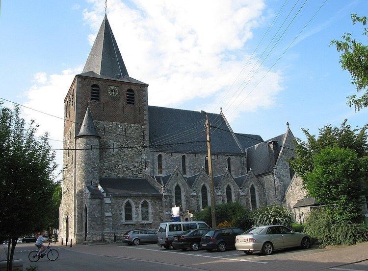
Hannut is a municipality of Belgium. It lies in the country's Walloon Region and Province of Liege. On January 1, 2006, Hannut had a total population of 14,291. The total area is 86.53 km² which gives a population density of 165 inhabitants per km².
Map of 4280 Hannut, Belgium
Seventeen villages are included in the greater Hannut area: Abolens, Avernas-le-Bauduin, Avin, Bertrée, Blehen, Cras-Avernas, Crehen, Grand-Hallet, Lens-Saint-Remy, Merdorp, Moxhe, Petit-Hallet, Poucet, Thisnes, Trognée (Truielingen), Villers-le-Peuplier, and Wansin.
The Battle of Hannut, which began May 12, 1940, is credited with being the first battle between tanks of World War II.
References
Hannut Wikipedia(Text) CC BY-SA