
Population 665 (2011 Census) Community Hanmer Country Wales Local time Wednesday 11:46 PM Ceremonial county Clwyd UK parliament constituency Clwyd South | OS grid reference SJ455396 Principal area Wrexham Sovereign state United Kingdom Dialling code 01948 Post town Whitchurch | |
 | ||
Weather 9°C, Wind S at 8 km/h, 81% Humidity | ||
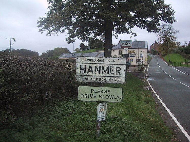
Hanmer is a village and a local government community, the lowest tier of local government, part of Wrexham County Borough in Wales. At the 2001 Census the population of the Hanmer community area, which includes Hanmer village itself, Horseman's Green and Arowry along with a number of small hamlets, was recorded at 726, reducing to 665 at the 2011 Census.
Contents
Map of Hanmer, Whitchurch, UK
History
The village of Hanmer lies at the northern end of Hanmer Mere, part of the 'Shropshire lake district' of meres which was formed during the last ice-age. By the time of the Roman invasion (47 AD), the area was part of the lands occupied by the Cornovii, one of the tribes of ancient Britain who had their principal settlement at the Wrekin. It later became part of the Mercian region known as Wreocansaete. The name is thought to have either originally been "Handmere", or "Hagenamere", taking its name from a Mercian lord.
At the time of the Norman invasion the area was part of ancient Cheshire, within the Hundred of Duddeston, and it later became the estate of (and gave its name to) the prominent Hanmer family, who were descended from Sir Thomas de Macclesfield, an officer of Edward I. Sir Thomas settled in English Maelor (Welsh: Maelor Saesneg) and his family consolidated their possessions in the area through a series of marriages to heiresses of important Welsh families.
The oldest recorded reference to a church in Hanmer dates from 1110, though this building was destroyed in 1463 during the Wars of the Roses. It was rebuilt in 1490, destroyed again by fire in 1889 along with many irreplaceable architectural features, and rebuilt between 1892 and 1936, when the chancel was finally reconstructed. It is dedicated to St Chad.
Until the reorganisation of Welsh local government on 1 April 1974, Hanmer was in the detached part of the historic county of Flintshire known as the Maelor Saesneg (English Maelor). Its local speech was recorded in depth in the Survey of English Dialects; Hanmer was the only site in North Wales to be included in the survey, so it was grouped together with the sites in Cheshire.