
Country United States Elevation 645 m | Time zone Central (CST) (UTC-6) Local time Wednesday 6:31 PM | |
 | ||
Weather 6°C, Wind S at 10 km/h, 73% Humidity | ||
Hanks is an unincorporated community in Williams County, North Dakota, United States.
Contents
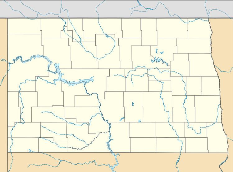
Map of Hanks, ND 58856, USA
Geography
Hanks is located on North Dakota Highway 50, and has the latitude of 48.603° N, and the longitude of −103.802° W. The elevation is 2,116 feet (645 m), and is located in the Central Time Zone.
History
Hanks was founded in 1916 along a Great Northern Railway branch line that ran from Stanley to Grenora. The name honors W.F. Hanks, a banker from Powers Lake.
Hanks disincorporated in 1992.
According to a 2008 report, Hanks had only one inhabitant. The town was included in the National Geographic article The Emptied Prairie, published in January 2008.
Notable people
References
Hanks, North Dakota Wikipedia(Text) CC BY-SA