
Country United States ZIP code 24019 Elevation 340 m | Time zone Eastern (EST) (UTC-5) Area code 540 Local time Wednesday 6:26 PM | |
 | ||
Weather -1°C, Wind W at 34 km/h, 28% Humidity | ||
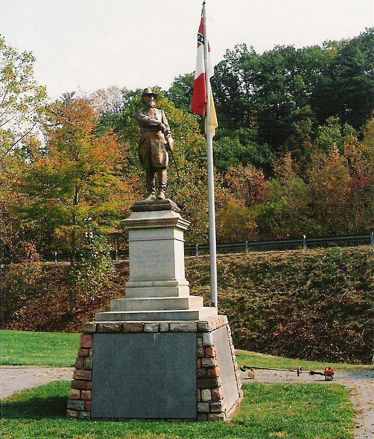
Hanging Rock is an unincorporated community in Roanoke County, Virginia, United States located directly north of Salem. The community is named for a prominent rock outcrop. The intersection of Virginia State Route 311 and Virginia State Route 419 is in Hanging Rock. In the Battle of Hanging Rock in the Civil War, a retreat to West Virginia by Union General David Hunter was briefly disrupted by the forces of Confederate Generals Jubal A. Early and John McCausland. Hunter and his men were seeking refuge after failing to capture Lynchburg, 60 miles to the east. About 100 union soldiers were killed partly because their way was blocked by trees that had been felled across the road.
Map of Hanging Rock, VA 24019, USA
References
Hanging Rock, Virginia Wikipedia(Text) CC BY-SA