
Country Japan Area 47.24 km2 District Chita | Population 118,828 (2010) Region ChubuTokai Mayor Izo Sakakibara | |
 | ||
Map of Handa, Aichi
Handa (半田市, Handa-shi) is a city located in Aichi Prefecture, Japan.
Contents
- Map of Handa Aichi
- Tourism animation of handajapan
- Geography
- Neighboring municipalities
- History
- Economy
- Education
- Railway
- Highway
- Sister city relations
- Local attractions
- Noted people from Handa
- References
As of May 2015, the city had an estimated population of 117,088 and a population density of 2,470 persons per km². The total area was 47.24 square kilometres (18.24 sq mi).
Tourism animation of handajapan
Geography
Handa is located in northeastern Chita Peninsula in southern Aichi Prefecture, and is bordered by Mikawa Bay to the east.
Neighboring municipalities
History
During the Edo period, the area of Handa city was part of Owari Domain. In the post-Meiji restoration cadastral reforms of October 1, 1889, the towns of Handa and Kamezaki were founded, as was the town of Narawa the following year. These three towns merged on October 1, 1937 to form the city of Handa.
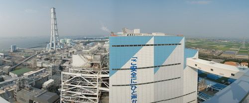
Economy
Handa has a strong historical connection with soy sauce, sake and vinegar brewing, and remains the worldwide headquarters of the Mizkan Vinegar Group. During World War II, Nakajima Aircraft Company established an aircraft production plant in Handa. In the post-war period, this was redeveloped into a heavy industrial zone, including a production plant by Dow Chemical. Handa and Midland, Michigan became Sister Cities in 1981, a relationship that continues to this day.