
Elevation 554 ft (169 m) | Established April 27, 1855 Time zone CST (UTC-6) | |
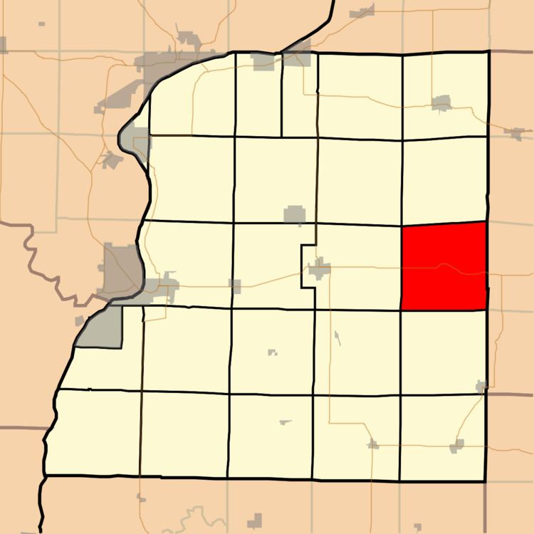 | ||
Hancock Township is one of twenty-five townships in Hancock County, Illinois, USA. As of the 2010 census, its population was 255 and it contained 129 housing units. It was formed from Fountain Green and St. Mary's townships on April 27, 1855.
Contents
- Map of Hancock County IL USA
- Geography
- Unincorporated towns
- Cemeteries
- Major highways
- School districts
- Political districts
- References
Map of Hancock County, IL, USA
Geography
According to the 2010 census, the township has a total area of 38.17 square miles (98.9 km2), all land.
Unincorporated towns
(This list is based on USGS data and may include former settlements.)
Cemeteries
The township contains these five cemeteries: Liberty, Majorville, Oak Grove, Spangler and Yetter.
Major highways
School districts
Political districts
References
Hancock Township, Hancock County, Illinois Wikipedia(Text) CC BY-SA