
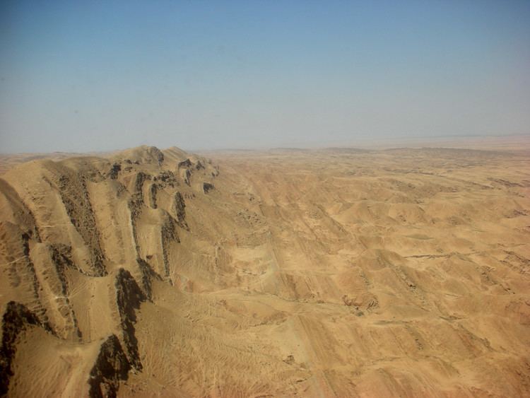
Elevation 500 m | Mountain type Anticlinal fold Mountain range Zagros Mountains | |
 | ||
Similar Cheekha Dar, Halgurd, Mount Alfaf, Mount Korek | ||
The Hamrin Mountains (Arabic: جبل حمرين Jabāl Hamrīn, Kurdish: Çiyayê Hemrîn or Çiyayên Hemrîn) are a small mountain ridge in northeast Iraq. The westernmost ripple of the greater Zagros mountains, the Hamrin mountains extend from the Diyala Province bordering Iran, northwest to the Tigris river, crossing northern Salah ad Din Province and southern Kirkuk Province.
Map of Hamrin Mountains
In antiquity, the mountains were part of the frontier region between Babylonia to the south and Assyria to the north. Today, the area forms part of the linguistic boundary between most of Arabic-speaking Iraq and Kurdish-speaking Iraq.
References
Hamrin Mountains Wikipedia(Text) CC BY-SA