
District Judea and Samaria Area Region West Bank Founded 1971 | Council Bik'at HaYarden Affiliation Agricultural Union Population (2015) 1,410 | |
 | ||
Weather 16°C, Wind W at 13 km/h, 68% Humidity | ||
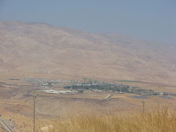
Hamra (Hebrew: חַמְרָה, lit. Red Soil) is a moshav and Israeli settlement in the West Bank. Located in the Jordan Valley and covering 3,500 dunams, it falls under the jurisdiction of Bik'at HaYarden Regional Council. In 2015 it had a population of 1,410. The international community considers Israeli settlements in the West Bank illegal under international law, but the Israeli government disputes this.
Contents
Map of Hamra
History
The moshav was founded in 1971 and was initially named Atarot, before being renamed after nearby Tel Hamra.
References
Hamra, Bik'at HaYarden Wikipedia(Text) CC BY-SA