
Country United States Elevation 323 m Population 114 (2000) | GNIS feature ID 0477463 Area 76.53 km² Local time Wednesday 10:25 AM | |
 | ||
Weather -1°C, Wind SE at 16 km/h, 66% Humidity | ||
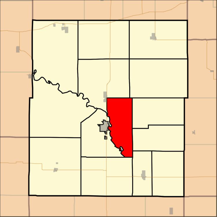
Hampden Township is a township in Coffey County, Kansas, United States. As of the 2000 census, its population was 114.
Contents
Map of Hampden, KS, USA
Geography
Hampden Township covers an area of 29.55 square miles (76.5 km2) and contains no incorporated settlements. According to the USGS, it contains two cemeteries: Sherwood and Stringtown.
Mathias Lake is within this township. The stream of Wolf Creek runs through this township.
Wolf Creek Generating Station, a 1250MW nuclear power plant, operates here.
Transportation
Hampden Township contains one airport or landing strip, Wolf Creek Airport.
References
Hampden Township, Coffey County, Kansas Wikipedia(Text) CC BY-SA