
Admin. region Darmstadt Elevation 135 - 160 m (−390 ft) Area 20.15 km² Population 4,774 (30 Jun 2009) Dialling code 06185 | Time zone CET/CEST (UTC+1/+2) Local time Wednesday 3:34 PM Postal code 63546 Administrative region Darmstadt | |
 | ||
Weather 16°C, Wind NW at 6 km/h, 56% Humidity | ||
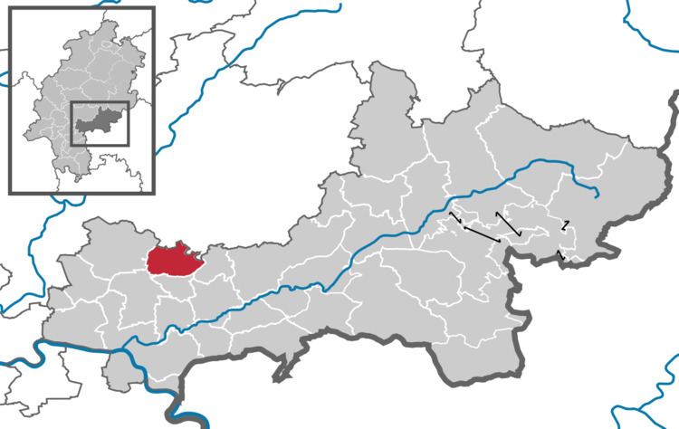
Hammersbach is a municipality in the district of Main-Kinzig-Kreis, in Hesse, Germany.
Map of Hammersbach, Germany
It is located near Frankfurt am Main. It consists of two districts: Marköbel and Langen-Bergheim. Only Marköbel once belonged to the Roman Empire. Parts of the Limes were found there recently. Since 2007 Hammersbach has an official connection to the motorway A45 that has been planned for a long time. Prior to that, it was necessary to use the Raststätte Langen-Bergheim to get access the motorway. There is a development area close to this motorway and within a few months some supermarkets and houses for families were built there. Hammersbach has many beautiful old houses in the center. The elementary school (Astrid-Lindgren-Schule) of Hammersbach can be seen easily from the fields around the village, because of the cone-shaped roof.