
Population 1,859 Civil parish Hambleton Sovereign state United Kingdom Local time Wednesday 10:39 AM | OS grid reference SE555305 | |
 | ||
Weather 12°C, Wind SW at 14 km/h, 57% Humidity | ||
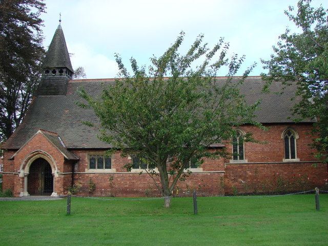
Hambleton is a small village and civil parish near to Selby in North Yorkshire, England. It is a ward of the district of Selby and should not be confused with the district of Hambleton, another district of North Yorkshire.
Contents
Map of Hambleton, UK
Hambleton is situated just over 3 miles (4.8 km) west of Selby and lies about 5 miles (8.0 km) east of the A1(M) motorway junction 42. The A63 road, Leeds to Selby, runs through the village.
According to the 2001 UK census, the population of Hambleton parish was 1,711, increasing to 1,859 at the 2011 Census.
There are three pubs: The Wheatsheaf, The Red Lion and The Owl. There is also a village shop. As of September 2014, the Wheatsheaf is closed and for sale - during June 2015 demolition of the building commenced.
Governance
The name Hambleton is now also assigned to an electoral ward. This ward also covers Thorpe Willoughby and surrounding areas. The total population of the ward taken at the 2011 Census was 5,315.