
Country Canada RCM Les Sources Postal code(s) J0B 3J0 Area 152.4 km² Area code 819 | Region Estrie Constituted January 1, 1879 Highways Route 257 Province Québec | |
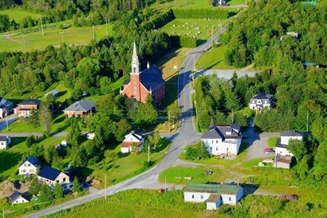 | ||
Ham-Sud is a municipality in Quebec.
Contents
Map of Ham-Sud, QC, Canada
Prior to October 22, 2011 it was a parish municipality and its name was Saint-Joseph-de-Ham-Sud. It lies 20 kilometres (12 mi) to the east of Wotton and about 50 kilometres (31 mi) to the southwest of Thetford Mines. Quebec Route 257 passes through the region.
Toponymy
Colonized in the middle of the 19th century, the township of Ham-Sud, established in 1851, takes its name from a village in the county of Essex in England. One of its first inhabitants, Joseph Dion, would eventually see his first name honored through attribution to the mission in 1869. The parish was established both canonically and civilly in 1877. The parish municipality, installed two years later, would also take this denomination, Saint-Joseph-de-Ham-Sud.
Demography
The 2006 census counted 219 inhabitants, which is a 6.8% decrease from 2001.
Of these, 100% are native speakers of French.
History
On 22 Oct. 2011, the parish municipality of Saint-Joseph-de-Ham-Sud changed its name and status to simply Municipality of Ham-Sud.