Postcode(s) 5381 Hallelujah Hills Bright Postal code 5381 | Footnotes Coordinates | |
 | ||
Location 37 km (23 mi) north of Eudunda | ||
Hallelujah Hills is a rural locality in the Mid North region of South Australia, situated in the Regional Council of Goyder. It was established in August 2000, when boundaries were formalised for the "long established local name".
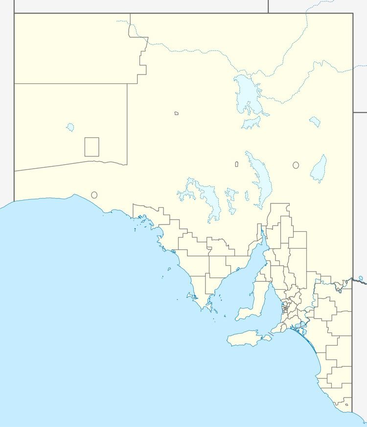
Map of Hallelujah Hills SA 5381, Australia
The area was originally the territory of the Ngadjuri people. It includes the 413 ha former Hallelujah Hills pastoral property, now held for conservation purposes by Worlds End Conservation Pty Ltd. They describe the site as "the last range of hills and ridges between the mid-north and the mallee plains", and home to rare and threatened flora and fauna. It is home to a large population of the endangered Spiller's wattle (Acacia spilleriana).
Worlds End Highway marks the eastern boundary of the locality, with Hallelujah Hills Road being the only road through Hallelujah Hills itself.
