
Population 332 (2011 census) Postcode(s) 2618 Founded 1882 Local time Wednesday 4:20 PM | Established 1882 Postal code 2618 | |
 | ||
Weather 24°C, Wind E at 26 km/h, 51% Humidity | ||
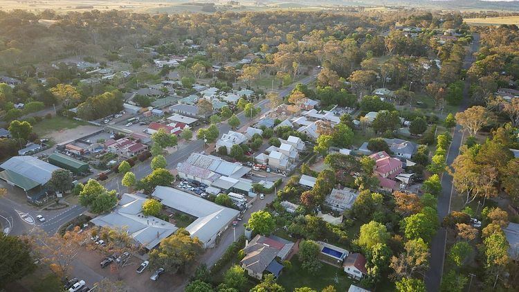
Hall is a small village in the north of the Australian Capital Territory (ACT), Australia. At the 2011 Census, the village had a population of 332 people. It is surrounded by open country and has a rural appearance. It has a village character though it is practically a suburb on the edge of Canberra. The village itself features historic buildings that existed before the establishment of Canberra.
Contents
Map of Hall ACT 2618, Australia
History
George Palmer established his Palmerville Estate in 1826 in Ginninginderry with a homestead located on the banks of Ginninderra Creek adjacent to the presentday suburb of Giralang. The estate encompassed much of what is now Belconnen and southern Gungahlin. It adjoined the Charnwood Estate to the west and Yarralumla Estate to the east. The combined area of the Ginninderra and Charnwood Estates was nearly 20,150 acres (8155 ha).
By 1861 a store, post office, cottages and homestead had been set up on a property owned by William Davis, about 3 km south of Hall at Ginninderra. This settlement was known by residents as Ginninderra village. In 1881 the NSW Government surveyed the area for an official village and chose a site on Halls Creek.
The new village called Ginninderra was officially proclaimed in 1882, but after protests from local residents was renamed Hall, in honour the first landholder in the area, Henry Hall. The village was planned on a rectangular grid. The first sale of land occurred in 1886.
In 1911 the Australian Capital Territory was gazetted and Hall was within the boundary of the land allocated, near the New South Wales border. It was also one of the sites considered for a capital city in the Yass district. Hall did not grow as it suffered with few amenities and it was not provided with town water until 1967. In 1954 the main street of Hall (which had been part of the state highway system since 1935) was named the Barton Highway.
In 1980 the highway alignment was shifted to the west as part of a dual carriage upgrade, bypassing Hall completely.
Features and Attractions
Some features of note within Hall village are:
Geology
In the Hall area the rocks are all Silurian age volcanic rocks. Green grey and purple quartz andesite and dacite from the Hawkins Volcanics are under the village and extending up the Halls Creek valley. Green-grey dacite and quartz andesite from the Hawkins Volcanics cover the surrounding areas including up to the New South Wales border, north to One Tree Hill, south east to the Harcourt Hill and south to the north edge of Belconnen. Dark grey to green grey dacitic tuff is found over the other side of the New South Wales border, and also within the Australian Capital Territory near Gooromon Ponds Creek.