
Country United States GNIS feature ID 0453361 Area 135.6 km² Population 1,631 (2010) | ZIP codes 47446, 47581 Elevation 144 m Local time Tuesday 8:37 PM | |
 | ||
Weather -2°C, Wind N at 14 km/h, 61% Humidity | ||
Halbert Township is one of six townships in Martin County, Indiana, United States. As of the 2010 census, its population was 1,631 and it contained 789 housing units.
Contents
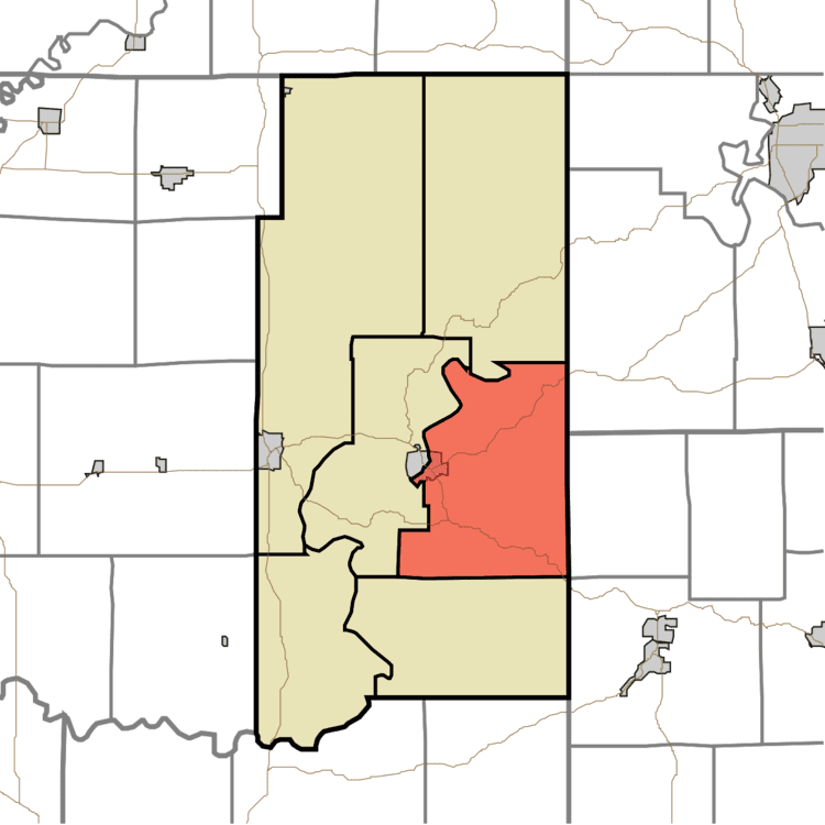
- Map of Halbert Township IN USA
- Geography
- Cities towns villages
- Unincorporated towns
- Cemeteries
- Major highways
- Lakes
- School districts
- Political districts
- References
Map of Halbert Township, IN, USA
Geography
According to the 2010 census, the township has a total area of 52.37 square miles (135.6 km2), of which 51.92 square miles (134.5 km2) (or 99.14%) is land and 0.44 square miles (1.1 km2) (or 0.84%) is water.
Cities, towns, villages
Unincorporated towns
Cemeteries
The township contains these five cemeteries: Acre, Baxter, Elliott, Hawkins and Union Chapel.
Major highways
Lakes
School districts
Political districts
References
Halbert Township, Martin County, Indiana Wikipedia(Text) CC BY-SA