
Time zone Eastern (EST) Local time Tuesday 3:57 PM | Elevation 189 m | |
 | ||
Weather -3°C, Wind NW at 23 km/h, 86% Humidity | ||
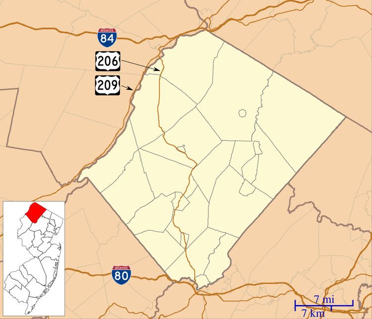
Hainesville is an unincorporated community located within Sandyston Township, in Sussex County, New Jersey, United States. It lies along a stretch of County Route 645, known as the Layton-Hainesville Road, that runs parallel to U.S. Route 206 and connects to County Route 675. It is adjacent to the Delaware Water Gap National Recreation Area, and near the towns of Shaytown and Layton. Its coordinates are latitude 41.25194 and longitude -74.80333. It is 620 feet (189 meters) above sea level.
Contents
Map of Hainesville, Sandyston, NJ 07826, USA
Named for Daniel Haines, governor of New Jersey from 1843-1844 and from 1845-1848, it is in Area code 973, and ZIP Code 07826, both of which it shares with Branchville, New Jersey.
Description
Hainesville and environs is home to the Hidden Acres golf course, the Hainesville Fish and Wildlife Management Area, a body of water known as the Hainesville Pond, and the Hainesville Cemetery. The Catholic parish St. Thomas the Apostle (Hainesville) is actually located in nearby Layton.
Notable people
People who were born in, residents of, or otherwise closely associated with Hainesville include: