
Country United States County Gila Time zone MST (no DST) (UTC-7) Area 4.17 km² | State Arizona Elevation 5,240 ft (1,600 m) Area code(s) 928 Population 19 (2010) | |
 | ||
Weather 24°C, Wind W at 6 km/h, 17% Humidity | ||
Haigler Creek is an unincorporated community and census-designated place (CDP) in Gila County, Arizona, United States. The population was 19 at the 2010 census.
Geography
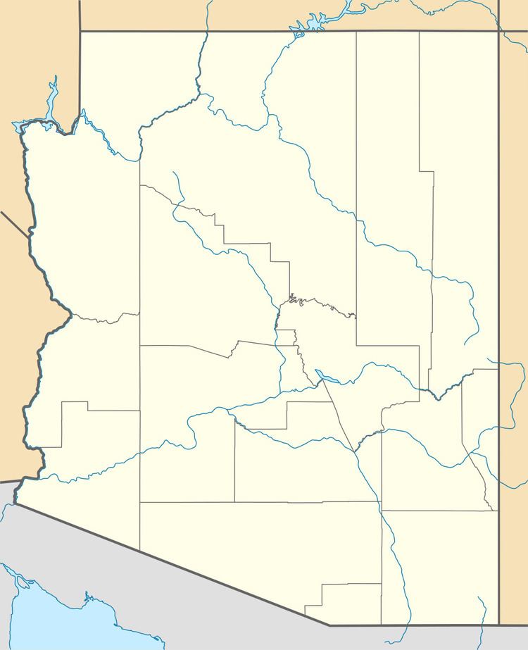
The Haigler Creek CDP is located in northern Gila County in the valley of the creek of the same name, within Tonto National Forest. It lies 11 miles (18 km) south of Arizona State Route 260 via East Colcord Road and a National Forest road. Payson is a total of 36 miles (58 km) west of Haigler Creek by road. According to the United States Census Bureau, the CDP has a total area of 1.61 square miles (4.17 km2), all of it land. Haigler Creek is a west-flowing tributary of Tonto Creek, part of the Salt River watershed.
References
Haigler Creek, Arizona Wikipedia(Text) CC BY-SA