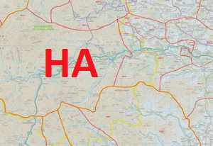
Postcode area HA Post towns 7 Postcode sectors 58 | Postcode districts 10 Postcodes (live) 10,490 | |
 | ||
The HA postcode area, also known as the Harrow postcode area, is a group of ten postcode districts in England which are subdivisions of seven post towns. These postcode districts cover part of the north-west of Greater London, as well as a very small part of south Hertfordshire.
The main sorting office is in Greenford (Green Park Way) and the area served includes virtually all of the London Borough of Harrow, the northeastern part of the London Borough of Hillingdon, the western part of the London Borough of Brent and a small part of the London Borough of Barnet, while the northern part of HA6 covers a small part of the Three Rivers district of Hertfordshire.
Coverage
The approximate coverage of the postcode districts:
References
HA postcode area Wikipedia(Text) CC BY-SA
