Capital Phú Bài Area 458.2 km² Local time Saturday 11:35 PM | Time zone UTC + 7 (UTC+7) Population 96,525 (2010) | |
 | ||
Weather 25°C, Wind W at 16 km/h, 95% Humidity Points of interest Tomb of Khải Định, Thanh Toan Tile ‑ Roofed B, đồi Thiên An, Lăng vua Thiệu Trị, Thác đá Dăm | ||
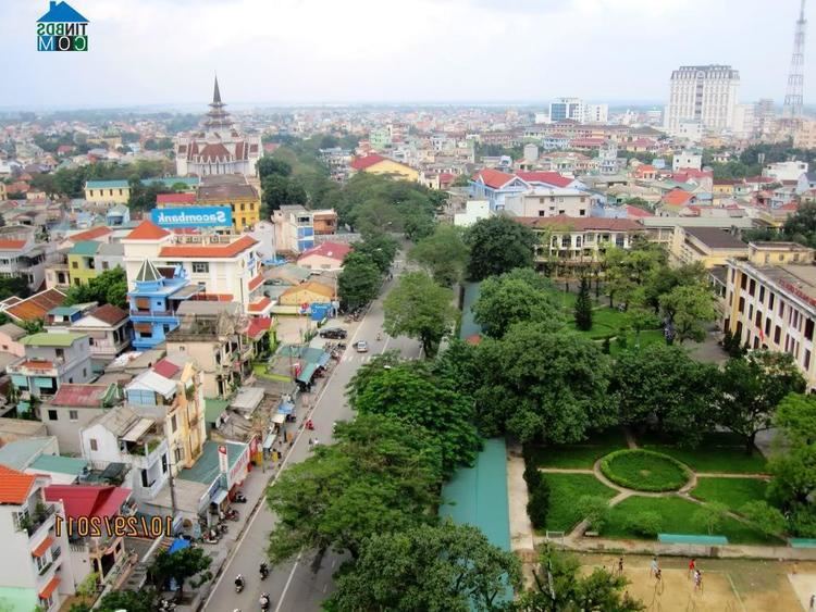
Hương Thủy is a County-level town (thị xã) of Thừa Thiên–Huế Province in the North Central Coast region of Vietnam. As of 2010 the town had a population of 93,680. The town covers an area of 458.1749 km².
Map of Tx. H%C6%B0%C6%A1ng Th%E1%BB%A7y, Thua Thien Hue, Vietnam
This district has five urban wards, Phú Bài, Thủy Châu, Thủy Dương, Thủy Lương and Thủy Phương and seven communes, Thủy Vân, Thủy Phù, Phú Sơn, Dương Hòa, Thủy Bằng, Thủy Tân and Thủy Thanh.
The town borders Phú Lộc District to the east, Hương Trà District and A Lưới District to the west, Nam Đông District to the south, and the city of Huế and Phú Vang District to the north.
References
Hương Thủy Wikipedia(Text) CC BY-SA
