
Country Japan Prefecture Ishikawa Prefecture Website www.hodatsushimizu.jp Local time Sunday 1:02 AM | Region Chūbu
Hokuriku District Hakui Population 14,741 (Aug 2011) | |
 | ||
Time zone Japan Standard Time (UTC+9) Weather 7°C, Wind SW at 6 km/h, 83% Humidity Points of interest Chirihama Nagisa Driveway, Mt Hodatsu, Moze Park, Zenshoji | ||
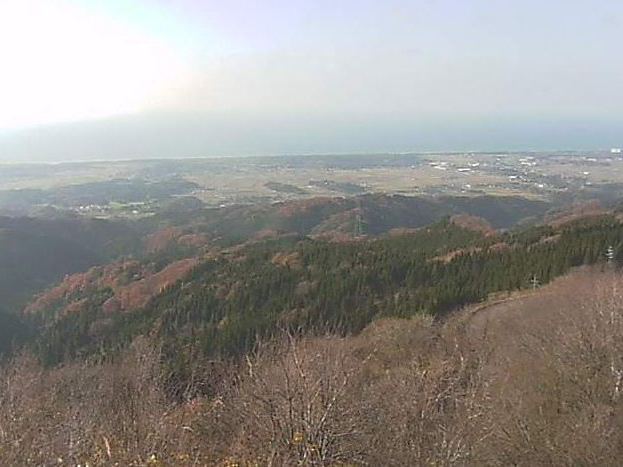
Hōdatsushimizu (宝達志水町, Hōdatsushimizu-chō) is a town located in Hakui District, Ishikawa Prefecture, Japan. It is one hour from Kanazawa, Ishikawa by Nanao Line.
Map of Hodatsushimizu, Hakui District, Ishikawa Prefecture, Japan
Hōdatsushimizu was formed March 1, 2005 from the merger of the towns of Oshimizu and Shio, both from Hakui District. Hōdatsushimizu is named after Mount Hōdatsu, the highest mountain in the Noto Peninsula and a compound of former names (Shio + Oshimizu).
As of August 2011 population data, the town has a registered population of 14,741. The total area is 111.68 km².
Hōdatsushimizu is famous for Mount Hōdatsu, Hōdatsu-kuzu and Chirihama nagisa driveway, the only tourist highway on a sandy beach in Japan. Paleolith tools have been dug up in Hōdatsushimizu.
In Hōdatsushimizu, there are the Houdatsu and the Shio libraries.