Parent range Harz Range Harz | Elevation 584 m | |
 | ||
Location south of Sieber in Osterode am Harz district in Lower Saxony | ||
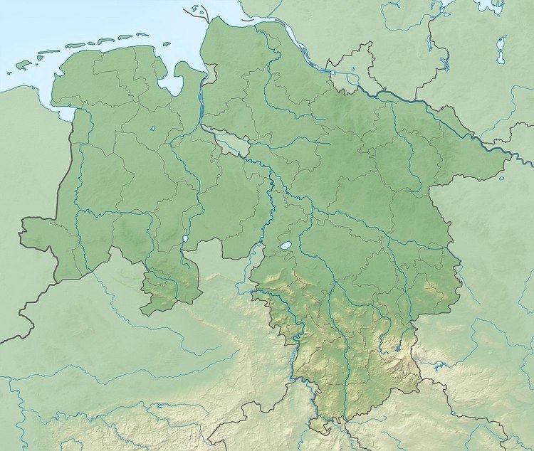
The Höxterberg is a hill in the Harz Mountains of central Germany, that lies south of Sieber in the district of Osterode am Harz in Lower Saxony. It is 584 metres high and lie 0.9 kilometres west of the Pagelsburg, 1.5 kilometres south of the Fissenkenkopf, 1.8 km west of the Großer Knollen and 1 kilometre north of the Mittelecke. The hill is mostly covered by beech woods. Towards the northwest the Höxterberg transitions into the Steile Wand.
Map of H%C3%B6xterberg, 37447, Germany
References
Höxterberg Wikipedia(Text) CC BY-SA
